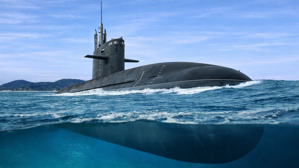
Today, many people depend on the Global Positioning System (GPS) to navigate in their daily lives. Smartphones, cars, and airplanes rely on GPS satellites to determine their location and guide them to their destination. However, this technology does not work underwater. Satellite signals cannot travel effectively through ocean water, which means submarines cannot use GPS while they are submerged deep beneath the sea. Because submarines often operate underwater for long periods, they must use other systems to determine their position and direction. These vessels can stay submerged for months and must travel through the ocean without constant external communication. Therefore, submarines rely on specialized navigation systems and techniques to make sure they do not get lost during missions.
Also Read: 12 First Cars Made by the World’s Best-Known Automakers
Why GPS Does Not Work Underwater
GPS satellites send signals using high-frequency radio waves, especially frequencies known as L-bands. These signals travel well through the air but quickly weaken when they try to pass through water. As a result, GPS signals cannot penetrate the ocean effectively. The problem becomes even worse in seawater because it contains salt. Saltwater has high electrical conductivity, which causes radio signals to lose their strength very quickly. Because of this, GPS signals can only travel a very short distance underwater before disappearing completely.
Due to this limitation, submarines that operate even a small distance below the surface become completely cut off from GPS satellites. They cannot receive location information the same way a smartphone or car can on land. This problem also affects other satellite navigation systems such as GLONASS, Galileo, and China’s BeiDou system. For GPS to work, a submarine would have to remain near the surface of the ocean. However, submarines usually travel deep underwater to remain hidden and safe during missions. Although extremely low-frequency radio signals, such as ELF, can reach submarines underwater, these signals are extremely slow. For example, sending a three-character message may take around fifteen minutes, which is far too slow for real-time navigation.
The Main Navigation System Used by Submarines
Since GPS cannot be used underwater, submarines mainly depend on a technology called the Inertial Navigation System (INS). This system allows a submarine to determine its position and direction without relying on external signals. The inertial navigation system begins with a known starting location. From that point, it measures the submarine’s movement using sensors such as gyroscopes and accelerometers. These sensors track the vessel’s speed, direction, and changes in motion. By constantly calculating these movements, the system estimates the submarine’s current position as it travels through the ocean. However, inertial navigation has one limitation. Small calculation errors can build up over time. As the submarine travels farther, these small inaccuracies may cause the estimated position to slowly drift away from the submarine’s real location.
Also Read: Meet the Sudoku Champion Behind LinkedIn’s Puzzle Games
Additional Methods Used to Improve Navigation Accuracy
Because inertial navigation systems can develop small errors over time, submarines use additional navigation methods to improve accuracy and reduce the risk of getting lost in the ocean. These methods help verify and correct the submarine’s estimated position.
Dead Reckoning
One important backup technique is dead reckoning. This method estimates the submarine’s position by calculating its speed, direction, and travel time. Sailors have used this technique for centuries. By tracking how far the submarine has traveled and in which direction, the crew can estimate where the vessel is located. Although dead reckoning is not perfectly accurate, it provides an additional reference that helps support the submarine’s navigation system.
Bathymetric Charts
Another important tool is bathymetric charts, which are detailed maps of the ocean floor. These maps show underwater terrain such as ridges, valleys, slopes, and mountains beneath the sea. Submarines can compare the actual seafloor beneath them with these maps to help determine their position. If the detected terrain matches the chart, the crew can confirm their location. If it does not match, they can adjust their navigation calculations.
Also Read: Pokémon Champions: The Ultimate Battle Guide
Sonar and Terrain-Relative Navigation
Submarines may also use sonar and other acoustic technologies to help navigate underwater. Sonar works by sending sound waves through the water and measuring how the waves bounce back from objects or surfaces.
Active Sonar
Active sonar sends sound pulses, known as pings, into the water. These pings bounce off underwater terrain and objects, helping submarines understand their surroundings and improve navigation. However, active sonar has a major disadvantage. Other ships or submarines can detect these sound pulses, which may reveal the submarine’s location. Because stealth is extremely important in submarine missions, active sonar must be used carefully.
Terrain-Relative Navigation
Another method used by submarines is terrain-relative navigation. In this technique, the submarine compares the terrain detected during a mission with stored maps of the seafloor. By matching real-time terrain data with known underwater features, submarines can correct errors in their navigation system and improve accuracy. This method helps submarines stay on course while remaining submerged and hidden.
Comments (0)
Log in to share your thoughts
No comments yet
Be the first to share your thoughts!